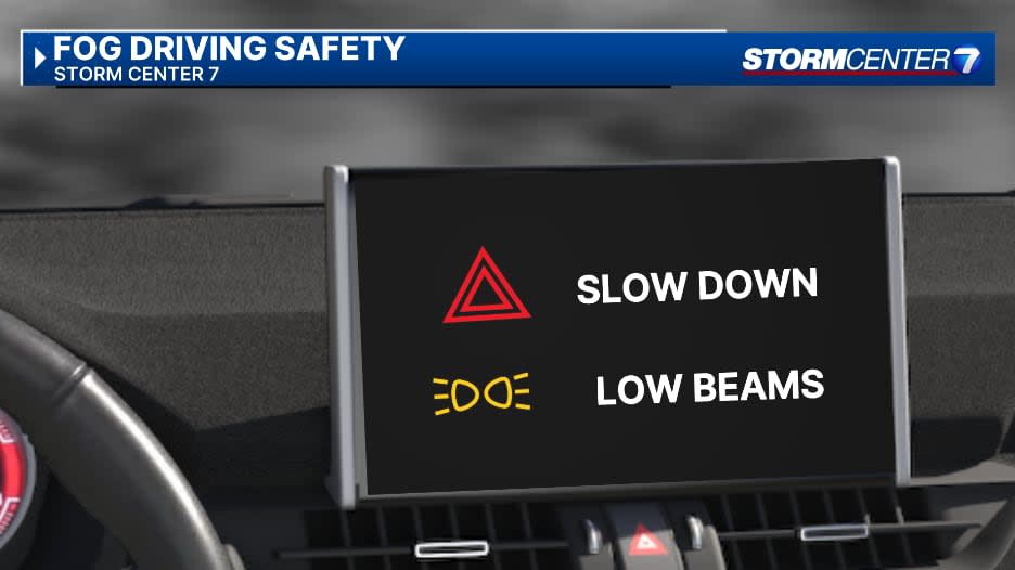
The National Weather Service has issued a Dense Fog Advisory for the entire region until 11 a.m. this morning.
This includes Auglaize, Butler, Champaign, Clark, Clinton, Darke, Greene, Logan, Mercer, Miami, Montgomery, Preble, Shelby, and Warren counties in Ohio.
It is also for Randolph, Union, and Wayne counties in Indiana.

QUICK-LOOK FORECAST:
-
Dense fog this morning for entire Miami Valley
-
Well above normal temperatures
-
Best chance for storms Wednesday
Storm Center 7 Meteorologist Britley Ritz will have the latest on how the morning fog could impact your morning starting at 4:25 a.m. on News Center 7′s Daybreak.
>>TRACK THE LATEST CONDITIONS: Live Doppler 7 Radar
DETAILED FORECAST:
MONDAY: Dense fog early, then becoming mostly sunny, according to Storm Center 7 Meteorologist Britley Ritz.
It should be a dry day, but you can’t rule out a stray shower bubbling up during the heat of the day.
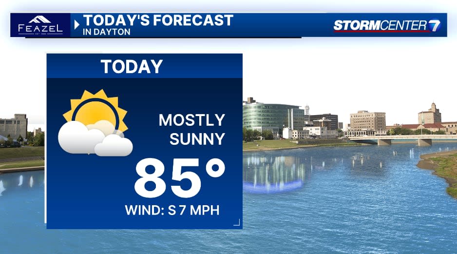
Hot with high temperatures rebounding to the mid-80s.
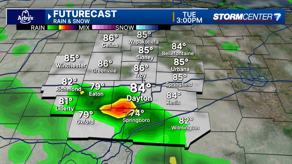
TUESDAY: Chances for showers and storms returning, especially in the afternoon and evening. Warm and muggy with highs in the middle 80s.
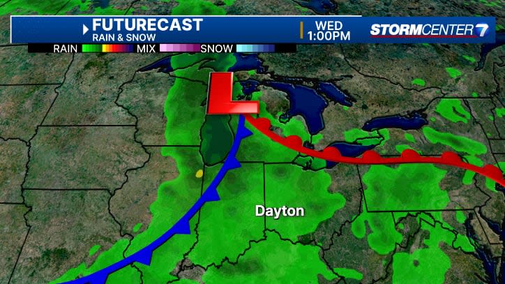
WEDNESDAY: Wettest day of the week with showers and storms likely. Very scattered early during the day. Highs in the lower 80s.
THURSDAY: A few lingering showers or isolated thunderstorms are possible. A bit cooler with highs in the upper 70s. Breezy
FRIDAY: Partly cloudy and mainly dry. An isolated shower can’t be ruled out. Cooler with highs in the lower 70s.
SATURDAY: Partly cloudy skies. A stray shower is possible with highs in the low to mid-70s.
SUNDAY: Partly cloudy. Again, a stray shower or storm is possible. Highs close to 80 degrees.
Signup bonus from