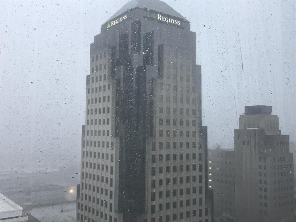
This week you may be seeing some thunderstorms and cloudy skies. This less than desirable weather is part of an active weather pattern that is hitting the northwest region.
Davyon Hill, National Weather Service Lead Meteorologist said, “we’re transitioning into what we call northwest flow aloft and under that pattern we basically get a series of disturbances move into the region on the northwest.”
This disturbance is pretty common for early June and is made up of complexes developed in the northwest region of the United States. Hill said, “sometimes that pattern can be somewhat challenging because the storms can develop overnight.”
The inconsistency in these disturbances can result in unknown timing for storms. Hill said it’s almost as if you are at the mercy of the disturbance.
“It really can be somewhat of a challenge to forecast,” said Hill.
This week though the disturbance will be an active pattern and will continue on through the workweek. Hill did want to advise people that this disturbance could create damaging winds and hail.
Hill said to always make sure you find a legitimate source for your weather coverage. These sources include the NWS, broadcast news or a well trusted radio station.
More: I-20 on and off ramp will be closed starting Wednesday. Here’s what you need to know
Makenzie Boucher is a reporter with the Shreveport Times. Contact her at mboucher@gannett.com.
This article originally appeared on Shreveport Times: A spring weather disturbance is moving through Louisiana. Here’s what you need to know
Signup bonus from


