As Duke Energy crews work to restore power after a line of storms pushed through the Greater Cincinnati Sunday afternoon, the area is bracing for a second round of thunderstorms expected to move into the region after 9 p.m.
The Greater Cincinnati area is under a slight risk (level 2 out of 5) for severe weather from the Storm Prediction Center. The main hazards for any strong to severe storms will be damaging straight-line winds and locally heavy rainfall that could result in localized flooding.
The National Weather Service says the timeline for storms to be strong to severe will be from 10 p.m. to 1 a.m.
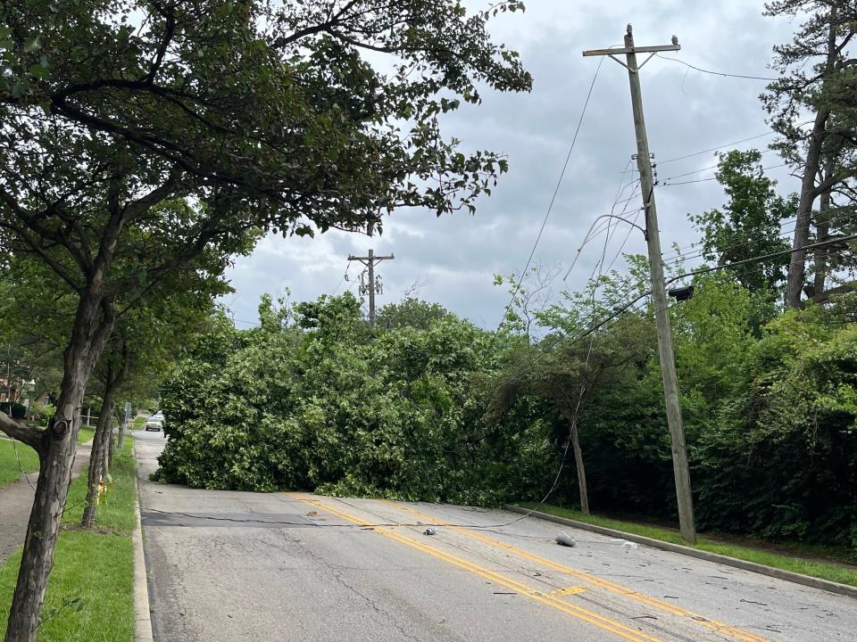
Duke Energy crews were restoring service Sunday afternoon into the evening, with more than 5,000 customers without power at the height of the outages.
This impacted several events, such as the Reds game, and the Taste of Cincinnati. The Reds started the game early and Taste officials suspended the event for a short period, reopening around 3 p.m.
There are reports of fallen trees and wires throughout Greater Cincinnati and Northern Kentucky.
Fox meteorologist Ethan Emory said Memorial Day Monday will have the chance for a few isolated showers and rumbles of thunder in the morning as well as late in the day behind the low-pressure system.
However, most of Memorial Day is dry with clouds slowly decreasing through the day with high temperatures in the mid 70s. In addition, it will be breezy with wind gusts up to 30 miles per hour.
.
This article originally appeared on Cincinnati Enquirer: When is second round of storms expected in Greater Cincinnati?
Signup bonus from