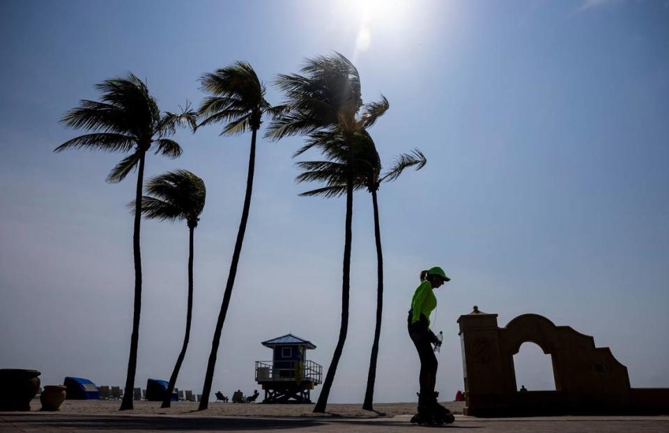
Saturday once again delivered a heat advisory, a May malady we’ve come to expect with South Florida weather these days. Forecasters at the National Weather Service in Miami, looking ahead into the weekend, are also tossing about the “T” word — as in a “tornado can’t be ruled out.”
Especially Sunday.
Let’s look at this:
Heat advisory
Heat indices of 105 to 110 degrees are forecast across Miami areas, Fort Lauderdale and the Keys, and most of the state on Saturday afternoon with the advisory lasting until 8 p.m. in South Florida and 6 p.m. in the Keys.
Heat indices of 103 to 107 degrees will be possible on Sunday, “before finally beginning to drop below 100 next week,” the weather service posted in its alert.
READ MORE: When is it too hot to be outside? A new online tool will help you plan your week
The heat index is that potentially dangerous sensation on your skin of “how hot it really feels” when relative humidity is factored in with the actual air temperature — which should hit a high of 92 Saturday and 91 Sunday — according to the weather service.
Meteorologists at NWS Miami issue a heat advisory if the index is 105 degrees for at least a couple of hours.

Heat index by hour
These are the times Saturday and Sunday when the heat will really be on and you should seek air conditioning, hydration and reduce sun exposure as much as possible. The figures are from the weather service’s hourly forecast graph for Miami International Airport.
Saturday
1 p.m. Saturday: 107 degree index and a high of 92.
4 p.m.: 106 degrees.
7 pm. : 103 degrees.
10 p.m.: 96 degrees index when the regular temperature dips to 85.
Sunday
10 a.m. Sunday: 100 degrees index when the regular temperature is 88.
1 p.m.: 103 degrees.
4 p.m.: 105 degrees when the temperature is 91.
7 p.m.: 97 degrees.
Storms
Isolated and scattered thunderstorms are possible Saturday afternoon and evening on a 30% chance, primarily near the East Coast metro area, with the highest chance around 4 p.m., according to the weather service.
“A few of these storms may be strong to severe and would be capable of producing damaging winds, small hail, frequent lightning and heavy rain. A tornado cannot be ruled out,” forecasters posted.
Thunderstorm chances grow on Sunday and remain likely each afternoon into the work week. Sunday sports a 60% chance. Monday is at about 70% and the rest of the week hovers between 50% and 30% into Friday.
Isolated thunderstorms are also possible in the Florida Keys through Thursday, but at a lower chance than Miami-Dade and Broward. In the Keys, the chance is between 20% and 30% late Sunday through Thursday.
Peak storms time frame
Saturday
4 p.m.-7 p.m. Saturday: Odds are 28% that about a third of an inch of rain may fall and thunderstorms are likely.
Sunday
2 p.m.-7 p.m. Sunday: Odds are 55% that about a fourth of an inch of rain may fall and thunderstorms are likely.
Monday
2 p.m.-7 p.m. Monday: Rain and storm chances are elevated most of the day but odds are highest, at 65%, that about a seventh of an inch of rain may fall and thunderstorms are likely in the mid- to late-afternoon hours.
Signup bonus from