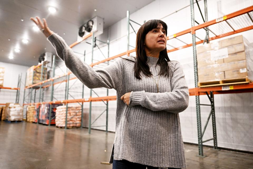
Jan. 9—An Arctic front that is expected to sweep through the region this week is likely to bring the coldest temperatures seen yet this year, possibly rivaling the lows of last season, a National Weather Service meteorologist said Monday.
“One of our big weather days will be Tuesday with the arrival of a shot of heavy snow,” said Greg Koch during an online briefing Monday morning.
“The mountain passes are going to get really hammered with blizzard-type conditions. … The snow is much needed in our mountains but it would be nice if we didn’t get it all at once.”
Although the heaviest weather impacts are likely to skip most of the eight-county area of the region, Pullman and Moscow, Powell, Elk City and Deary may experience several inches of snow over the next several days with the mercury plunging to minus 13 in Elk City and minus 9 in Deary on Friday night.
“While there still is a significant degree of uncertainty, we have high confidence this will be the coldest air mass we have seen so far this winter,” Koch said.
Koch said various factors, including snowfall rate and wind, could skew the predictions. But it’s likely the mountain passes in the Cascades and northern Idaho could see as much as 8 feet of snow over the next several days and 2 to 8 inches in Pullman.
These factors have ramped up the possibility of avalanches throughout the area, Koch said. The Idaho Panhandle Avalanche Center published an avalanche watch for northern Idaho on Monday.
“They are expecting conditions to deteriorate there,” he said.
Travelers are urged to consult weather maps and monitor the situation because the maps will be changing as the weather pattern develops.
Wind gusts are expected to pick up today from 40 mph to 60 mph across much of the region.
On Wednesday, the weather will be relatively quieter but light to moderate snow will continue in the mountains and more snow will fill in across the lowlands.
“We’re looking at the snow to be relatively wet and have rain on top of it,” Koch said. This could lead to isolated power outages, tree damage and difficulties in traveling.
The long-term prediction from Jan 15-21 calls for a 50% to 60% chance of below-normal temperatures and above normal precipitation, he added.
Koch was asked whether the high winds could cause blowing dust but he said that is unlikely.
“There’s not much chance for blowing dust,” he said. “This is dryland wheat country and we’ve had sufficient moisture and pretty good emergence with the winter wheat to hold the soil down.”
Hedberg may be contacted at khedberg@lmtribune.com.
Signup bonus from