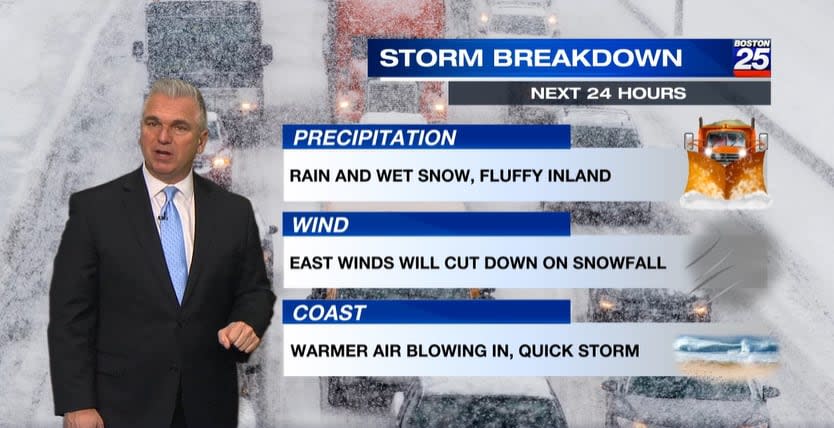
Gas up the snowblower because the Boston 25 Weather team is tracking a weekend nor’easter that could bring plowable snow to Massachusetts, but it’s still too early to predict totals due to uncertainty with the storm’s exact track.
“This doesn’t look like a blockbuster storm. We’re not talking feet of snow, I can tell you that much right now. We’re going to be measuring in inches, not feet,” Meteorologist Shiri Spear said in her Wednesday morning forecast. “But it is probably time to make sure you have gas for the snowblower, you know where the shovel is. I don’t think you need to run out to the store to get the bread and the milk.”
An updated map shared Wednesday night by Chief Meteorologist Kevin Lemanowicz indicated that a large portion of the Bay State including western Massachusetts, Worcester County, and parts of Middlesex and Norfolk counties have the “best chance” for more than six inches of snow.
There appears to be a lower chance for snow along the South Shore, Cape Cod, and the Islands because a closer nor’easter track will bring more mixing.
Parts of the North Shore, Boston, and down into the South Shore have a “moderate chance” to see snow totals top three inches, while southeastern Massachusetts, including Cape Cod and the Islands, has a “low chance” with a mixture of rain and snow.
“We are expanding the heaviest snow area, but still wary of the sharp cutoff near the coast,” said Lemanowicz in his latest forecast.
Expanding the heaviest snow area, but still wary of the sharp cutoff near the coast. Only Wednesday, but I’ll give you my latest thoughts and cautions coming up @boston25 pic.twitter.com/73slwfa0oc
— Kevin Lemanowicz (@KevinBoston25) January 4, 2024
The Weather Team’s confidence for “plowable snow” has gone up, but it’s still too early to pinpoint actual totals because the position of the storm’s rain-snow line “continues to flip-flop.”

A Weather Alert has been issued for Sunday with coastal wind and poor travel threats also accompanying the expected snow.
“It’s becoming increasingly likely we will see accumulating snow Sunday. We’re following a nor’easter that’s set to develop late week along the Gulf of Mexico. Clouds will increase Saturday ahead of the storm with snow arriving overnight. The storm is set to peak Sunday with snow for many and a mix/rain for some areas along the coast,” Lemanowicz wrote in his latest weather blog. “Activity looks to wind down Sunday evening or night. It’s too early to pinpoint totals, though confidence in a ‘plowable snow’ (3″ or more) continues to grow, especially west of 128. Be sure to check back as the snowfall, rain/snow line, and winds come into focus.”
Stay with the Boston 25 Weather Team for updates as the weekend gets closer.
Download the FREE Boston 25 News app for breaking news alerts.
Follow Boston 25 News on Facebook and Twitter. | Watch Boston 25 News NOW
Signup bonus from


